Autonomous Electric Bus (AEV) — Putrajaya Autonomous Feeder Service Pilot
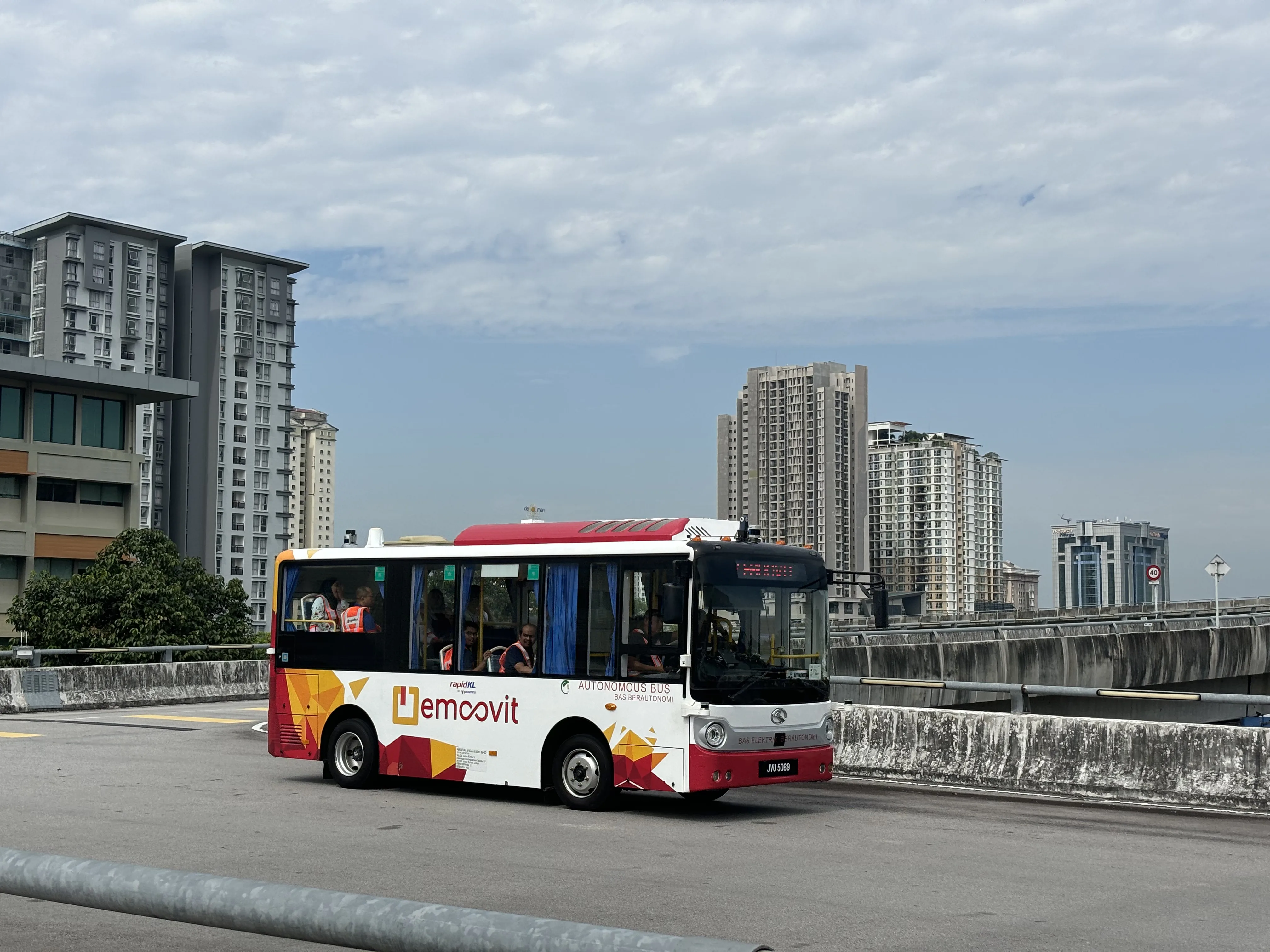
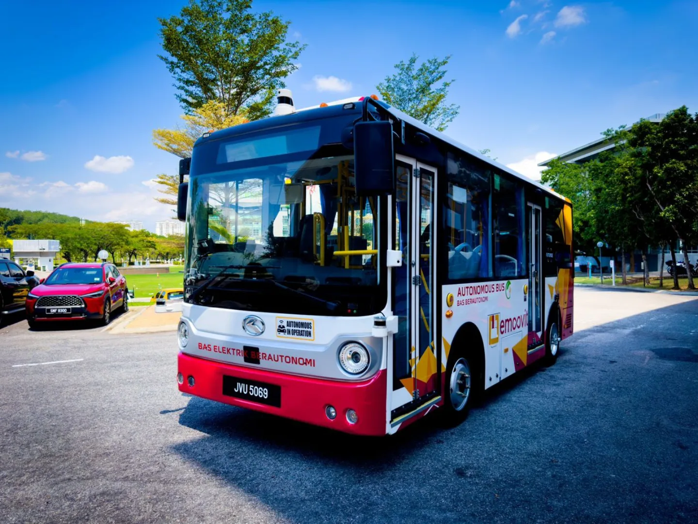
Perbadanan Putrajaya together with eMooVit launched a driverless autonomous electric bus pilot along Persiaran Perdana — pioneering the future of zero-emission smart public mobility in Malaysia's administrative heartland
Overview
Putrajaya — Malaysia’s federal administrative capital — became the proving ground for a landmark leap in the nation’s public transport evolution. Through a strategic collaboration between Perbadanan Putrajaya, eMooVit Technology Sdn Bhd, and Universiti Teknologi Malaysia (UTM), the Autonomous Electric Vehicle (AEV) Bus Pilot has demonstrated that driverless vehicles can operate safely, comfortably, and with strong public acceptance in real Malaysian urban environments.
Function & Operations
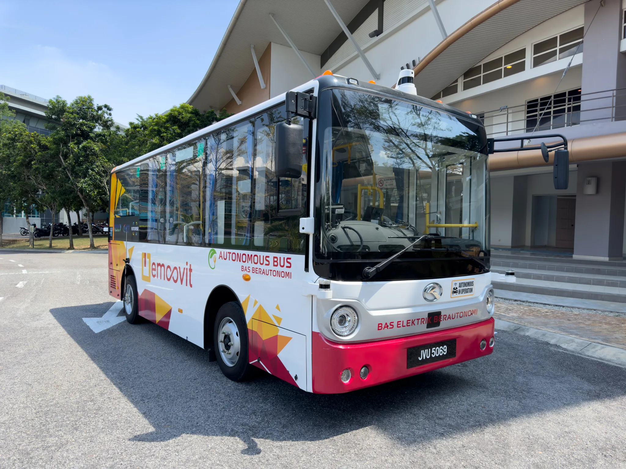
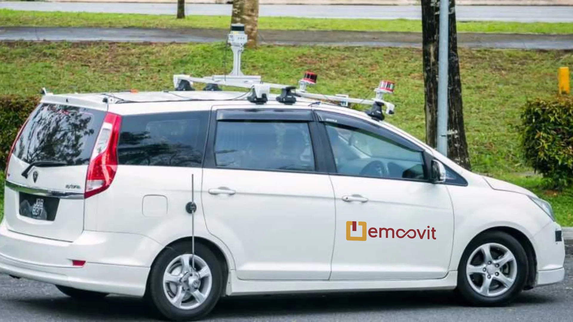
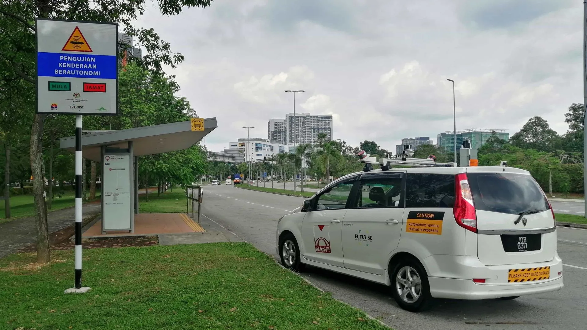
The AEV operates along pre-programmed routes entirely autonomously — with no driver in the front seat. The vehicle is equipped with three layers of sensing systems working simultaneously to build real-time 360° environmental awareness:
Phase 1 — Technical Testing (Mid-2024)
Before passengers were permitted onboard, the project underwent rigorous on-road technical testing on public roads. The trial period (27 May – 26 June 2024) covered four daily sessions including morning, evening, night, and midnight hours (12:00 AM to 4:00 AM). Engineers resolved harsh braking and vehicle wobbling, and optimised control parameters. This phase concluded with the official PJC AEV Bus Showcase on 27 June 2024.
Phase 2 — Passenger Service Trial (Nov 2024 – Jan 2025)
The public trial was conducted along the 6.5 km Persiaran Perdana route, connecting 6 government office bus stops including Kementerian Kewangan, Perbadanan Putrajaya, and Istana Kehakiman. Operations ran Monday to Thursday (10:00 AM – 4:30 PM) for physically fit individuals aged 18 and above, using a digital pre-registration system via QR code.
eMooVit Technology Architecture
The eMooVit AEV system integrates three primary sensor modules that complement each other to ensure safe autonomous control under all conditions:
🎥 Camera
Cameras provide detailed images to help the vehicle understand its surroundings and make safe driving decisions. By processing data from these cameras, the vehicle can navigate, avoid obstacles, and follow traffic rules:
- Lane Detection: Identifies lane markings to keep the vehicle in its correct lane
- Obstacle Recognition: Detects nearby objects like cars, pedestrians, and barriers to avoid collisions
- Traffic Signal Detection: Recognises traffic lights and helps the vehicle respond accordingly
- Pedestrian Detection: Spots pedestrians and other vulnerable road users, ensuring the vehicle can respond quickly to prevent accidents
📡 LiDAR (Light Detection and Ranging)
LiDAR helps the vehicle “see” its surroundings by sending out laser beams and measuring how long it takes for light to bounce back after hitting an object — creating a detailed 3D map of the environment:
- Object Detection: Accurately detects obstacles, vehicles, and pedestrians even in low light or adverse weather
- Distance Measurement: Measures real-time distances to objects to maintain safe following distances
- High Precision: Enables navigation of complex environments and precise road condition understanding
- Precise Localisation & Mapping: Pinpoints the vehicle’s exact location on the map for accurate navigation
📻 Radar (Radio Detection and Ranging)
Radar sends out radio waves and measures how long it takes for these waves to bounce back after hitting an object:
- Object Detection: Identifies and tracks vehicles, pedestrians, and obstacles even in poor visibility conditions like fog or heavy rain
- Distance Measurement: Measures real-time distance to surrounding objects
- Speed Detection: Determines how fast objects are moving by analysing the change in frequency of reflected radio waves
- Long-Range Detection: Detects objects at longer distances compared to other sensors — providing early hazard warnings
Passenger Survey Results (UTM)
UTM was appointed to conduct an independent survey of 263 pilot passengers. Results demonstrate strong public readiness:
| Evaluation Dimension | Score (/ 5.00) |
|---|---|
| Ease of Use | 4.21 |
| Ease of Learning to Ride | 4.27 |
| Perceived Usefulness | 4.22 |
| Freedom to Travel | 4.11 |
| Trust in Technology | 4.08 |
| Overall Positive Attitude | 4.42 |
Key concerns identified include performance in heavy rain/fog (3.77/5.00), handling of unpredictable traffic (3.74/5.00), and the complete absence of a human driver/operator (3.65/5.00) — all valuable inputs being addressed in subsequent development iterations.
Commercialisation Roadmap
Following the completion of the pilot trial report in March 2025, eMooVit proposed a formal commercial expansion plan:
- Proposed Route: A 13.3 km round trip directly connecting Putrajaya Sentral to key government buildings along Persiaran Perdana
- Target Ridership: Government employees and the public commuting to local agencies
- Proposed Operations: Weekdays only (9:00 AM – 6:00 PM), at 1-hour intervals, 7 trips per day (with a dedicated 1.5-hour mid-day break for vehicle charging)
- Environmental Impact: Zero direct carbon emissions — supporting Putrajaya’s low-carbon city agenda aligned with SDG 13: Climate Action
PSCB Blueprint Alignment
This initiative aligns with Smart Application 1.7: New Age Vehicle and 1.6: Low Emissions Transportation in the Putrajaya Smart City Blueprint (PSCB).
Objective: Reduce carbon emissions and air pollution through the use of efficient modes of public transportation.
Desire Outcome:
- Energy saving and reduction of carbon emissions.
- Provide people with alternative clean energy vehicular mode through autonomous vehicle.
Implementation Approach:
- Policy and regulation.
- Encourage pilot project implement in a short term.
- To increase the use of EV buses and NGV buses.
- Policy for electricity tariff for EV buses must be put in place.
Key Highlights
Technology Stack