Smart Initiative
Google Maps Content Partners
Two-way mapping data exchange collaboration with Google
Lead Agency
Perbadanan Putrajaya
Supporting Agencies
Google
Key Metrics
pengguna aktif
50,000+/hari
lokasi dikemas kini
500+ POI
integrasi
Google Maps & Waze
Overview
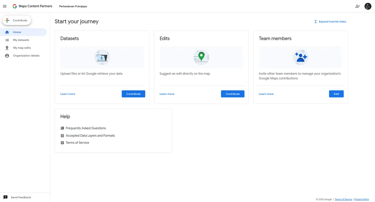
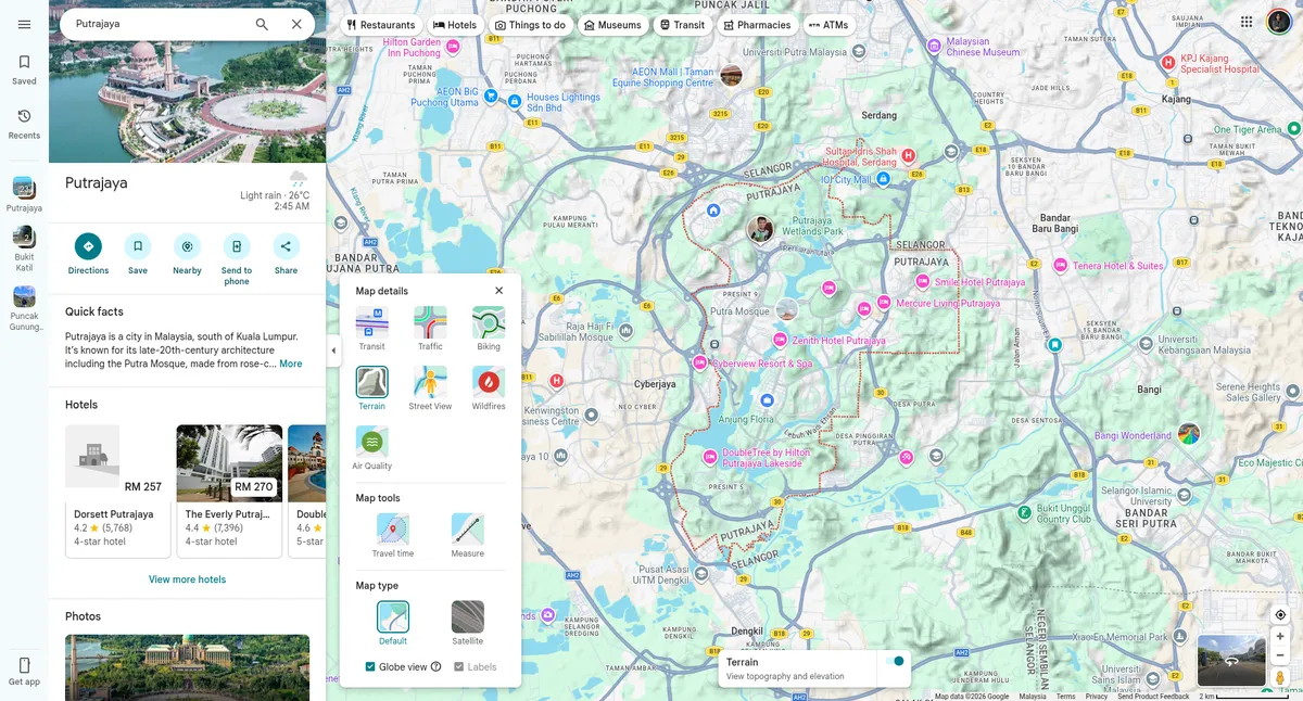
Through a strategic collaboration with Google via the Google Maps Content Partners program, Perbadanan Putrajaya and Google collaborate on a two-way data exchange.
This initiative allows Putrajaya to provide official mapping updates, road closures, and traffic advisories directly to Google Maps, ensuring citizens have access to the most accurate and up-to-date real-time interactive street maps. In return, the city leverages crowdsourced traffic mobility data to improve urban planning and traffic management capabilities.
Key Highlights
Official collaboration through the Google Maps Content Partners program.
Putrajaya provides official road closures and mapping updates.
City leverages crowdsourced data to improve traffic management.
Technology Stack
Google Maps Platform
Crowdsourced Traffic Data
Status
Operational
Year Launched
2024
Domain
Rating Tier
Level 2 (Bandar Pintar Membangun) → Level 3 (Leading Smart City)
Lead Agency

PSCB
Putrajaya Smart City Blueprint
Thrust 1: Smart Transportation & Mobility
MSCF
Malaysia Smart City Framework
Smart Mobility (Navigation & Traffic Information)
ISO
MS ISO/IEC 37122 Indicator
SDG

UN Sustainable Development Goals